Meron Teferi Taye and Alemseged Tamiru Haile (IWMI)
Through the FLAIR (Future Leaders – African Independent Research) Fellowship project, IWMI is working to develop a thorough knowledge of the water resources within the Lake Tana sub-basin as it experiences more developmental growth.
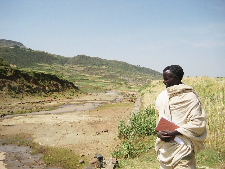
During recent field visits we witnessed intensified water withdrawal from rivers for small-scale irrigation production for staple and cash crops. In some cases, rivers are pumped so intensely they dry up. And, communities living in the sub-basin have raised concerns around potential water scarcity and the drying up of streams, which then causes conflicts over water. This calls for a need to examine water availability and withdrawal to manage growing developmental activities such as irrigation and horticulture projects, water scarcity, and conflicts in the sub-basin.
The sustainable development goals (SDGs) recognize the value of water-related data if the world is to efficiently use and manage scarce water resources. And, the World Meteorological Organization (WMO) has ambitions to support SDG6 (the ‘water’ goal) through data generation that covers the full hydrological cycle at a global level. IWMI provides support to cascade these high level initiatives down to basin levels, to ensure that hydrological observation networks provide reliable, complete and adequate data to evaluate the progress of the SDGs.
Hydrological monitoring and services in Ethiopia were strengthened in the 1960s master plan development of river basins. The Lake Tana sub-basin is one of the better monitored sub-basins in Ethiopia with gauging stations on the four major inflows. The station at Gilgel Abay, one of the tributary rivers, is considered the most reliable gauging station with long-term data. The Abay Basin Development Office (ABDO) is hosted in this sub-basin and through a World Bank project, was equipped with high-end infrastructure for real-time hydro-meteorological monitoring using a telemetry system. More than 40 stations are included in this telemetry system, and they have been recording data since 2015 in the Tana-Beles basin.
Nevertheless, a closer look at the streamflow data reveals that the 1980s and 1990s data is more thorough than for years after 2005. For example, at Gilgel Abay, researchers showed the dry season flow after 2006 has an unlikely jump by 200% when compared to the 1980-2005 average. Research shows this could be caused by a change in the gauging station location. If the station is moved downstream, then the datum (reference above which water level is measured) will be altered.
Additionally, dry season discharge data at Gumara, another river in the sub-basin, also showed an increase, despite the area facing a decreased flow due to too much pump irrigation and no increase in rainfall. Some researchers were forced to calculate Gumara’s discharge by developing their own rating curves.
Questionable reliability, and accuracy of data from the hydrological monitoring system is challenging hydrological studies. WMO’s standards such as regular assessment of network and quality checks are not necessarily followed. In the current state, IWMI, through the FLAIR project, assesses that the hydrological monitoring and services are perhaps worse than in previous decades.
Since 2015 river heights have been measured but those data are not yet converted into usable data on the discharge of rivers. Discharge is one of the ways we understand how much water is available to use. Measuring the heights of rivers and converting to discharge data is a primary function of organisations operating in the area. If they’re not converting the data to a usable form, then this calls for immediate action.
Afterall, we can’t manage what we can’t measure.
Other hydrological data users (informal communications with experts at ENTRO and ECDSWC) with similar experience reiterated that data challenges existed for research, planning, designing and forecasting. We hope that bringing light to this situation and communicating it, will spark the highly needed discussions on how to reverse current deterioration.

Hydrological data gathering could be compromised in numerous ways. For example, there are significant issues with the way data is collected. This includes the previously discussed gaps in collecting data around river heights, and also inefficient archiving processes. In addition, when the shape of the river changes due to natural processes, the Ministry has not been using updated rating curves, which means the data is not accurate.
Some of the reasons for this deficit in good data collection could lie in a lack of technical capacity at different levels, repeated institutional re-structures, unclear mandate transfers, and lack of instrument maintenance. For instance, data from the World Bank Project is not used for research and operational hydrology because of the limited capacity of ABDO to convert the data to a useful format, validate the data accuracy and avail it to end users. We argue that improving the transfer of knowledge and skills to local staff could have made a significant difference in the usefulness of the data. Engaging with ABDO to make these datasets useful is an opportunity.
Numerous changes, such as irrigation, more water-intensive industry, and land use changes, are happening in the sub-basin in relation to water resources, and these changes will continue in the near future. It’s important to improve existing measurements and start monitoring water withdrawals. If we don’t know how much water is withdrawn, it will result in scarcity.
Through the FLAIR project in the Lake Tana sub-basin, IWMI is supporting the way data is generated by measuring water diversions at selected schemes. Also, we are collaborating with ABDO on data generation of water demand from different sectors at district level. We also plan to support rating curve updates in order to extend the discharge data to include recent years. There’s a comparable data challenge situation in the Lake Ziway sub-basin, which has been experienced by other IWMI projects.
By highlighting these deficiencies in data collection, IWMI is and supporting responsible organizations to make immediate changes.
Meron is a FLAIR research fellow supported by the Royal Society UK and African Academy of Sciences, hosted in ILRI-Ethiopia. The FLAIR Fellowship Programme is a partnership between the African Academy of Sciences and the Royal Society funded by the UK Government’s Global Challenges Research Fund.