By David Wiberg, Hydro-Informatics Leader (HIL)

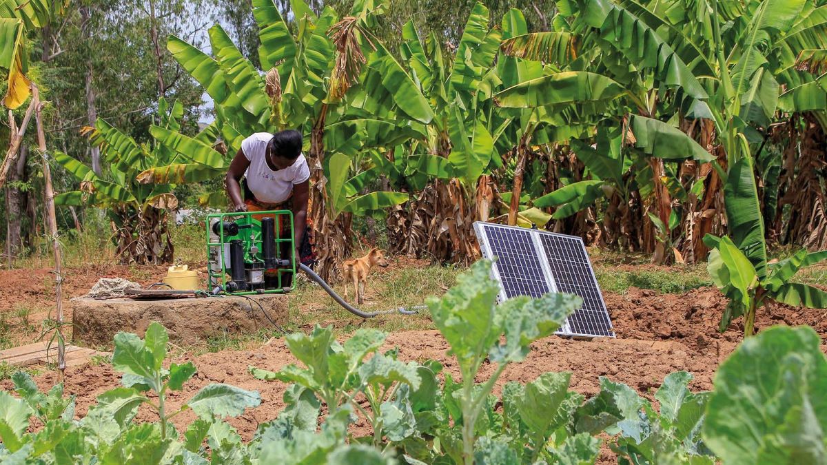
A network of solar irrigation pumps equipped with sensors that connect to the Internet will potentially provide a world first database of groundwater usage in sub-Saharan Africa.
Because of high rainfall variability African farmers are becoming more reliant on groundwater, the only reliable source of water for irrigation. IWMI have developed an online water information platform which will provide near real-time information on water withdrawal, irrigated areas and energy use across the continent.
One of four winners of the 2019 CGIAR Inspire Challenge, IWMI’s REAL-GUD (Real-time East Africa live groundwater use database) project has moved forward in its quest to capitalise on Internet of Things (IoT) technology for these purposes, starting with a case study in Kenya.
The resulting data can be used by farmers to better understand where they can sustainably use solar irrigation and by policy makers to better manage groundwater resources.
Solar irrigation pumps offer a sustainable solution, particularly in comparison with diesel pumps, but with near zero operational costs there is the potential for overuse of valuable water resources.
REAL-GUD partners with Futurepump, a provider of solar irrigation technology. Futurepump’s solar pumps incorporate data loggers, which measure the amount of energy used, and when.
With the projected rapid spread of solar irrigation, IWMI researchers are particularly interested in finding out which land is most suitable for solar irrigation and how solar irrigation pumps (SIPs) will impact groundwater resources and the connected water, agricultural, energy, and environmental systems.
IWMI experts and Futurepump have created an application programming interface (API) that links a dashboard developed to provide data on the pumps’ usage with an IWMI system that will harvest data such as voltage and speed of the motor (measured in RPM).
Before the data is of any use to the intended audience of farmers, decision makers and businesses, the project needed to establish a case study to verify pump data with ground measurements and understand how to translate the data into a usable picture of what water resources exist and how they are being used. For example, the experts need to understand how to gauge the rate of flow and groundwater depth from data provided by the pumps, and the reasons for any data gaps.
Earlier this year a decision was made to focus on Kisumu near Lake Victoria in Kenya. Here IWMI experts, together with Futurepump and the University of Nairobi, were due to conduct a ground verification exercise which is now on hold because of the Covid-19 emergency.
An output of the case study will be a methodology to map voltage, current, and pump speed to water volume pumped and groundwater depth. Once this is complete it could be applied to gather data from Futurepump’s 4000 remotely monitored pumps, across sub-Saharan Africa.
Projects such as REAL-GUD are just one example of how IWMI is capitalising on new technologies and big data to sustainably manage water resources, on the surface or below. Tools like this developed in public-private partnerships will give farmers, water planners, and managers more efficient ways to manage water resources and create resilience in the face of climate change and other factors.

