Online tool expands to cover Mekong Basin
IWMI’s open access flood mapping tool, originally developed for South Asia, has now been expanded to cover the Mekong Basin and other areas of South East Asia.

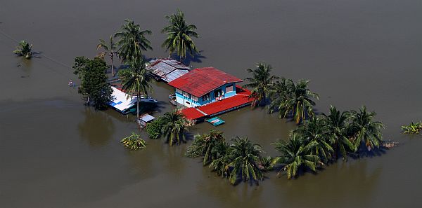
US Marine Corps photo by Cpl Robert J Maurer Creative Commons on Flickr
60 million people live in the Mekong region which is currently experiencing one of the fastest rates of economic growth in human history. This is putting enormous pressure on water and land resources, and those who depend on them. The river’s delta, for instance, is the rice basket of Vietnam. Equally important for regional food security is Tonle Sap Lake in Cambodia, where the fisheries alone are valued at over $200 million.
This makes flood mapping for the region vital. Floods in South East Asia cause immense damage and distress. But they are also part of a natural cycle that delivers tangible benefits to ecosystems and the communities that depend on them. The challenge, therefore, is to mitigate the deleterious impacts whilst retaining the benefits that inundation can bring.
[pullquote type=”pullquote3″ content=”Digital geospatial flood inundation mapping is a powerful new approach that can show floodwater extent and depth on the land surface in real time” quote_icon=”yes” align=”right” textcolor=”#13d816″]Digital geospatial flood inundation mapping is a powerful new approach that can show floodwater extent and depth on the land surface in real time[/pullquote]
One critical aspect of this is flood insurance. For poor communities, affordable insurance for flood related crop loss is rarely available. But if insurers could identify more accurately the recurring patterns of floods in a particular area, they would be better placed to offer farmers reasonably priced products for extreme weather events. This would help communities manage land development more effectively, and allow home owners to make better informed financial decisions regarding the protection of their property.
“We can provide the information insurers need using satellite imaging and flood hazard modeling tools,” says Giriraj Amarnath, who leads IWMI’s flood mapping research. “Until recently, flood mapping using satellite imagery could only show the areas covered by water, not the depth. But Digital geospatial flood inundation mapping is a powerful new approach that can show floodwater extent and depth on the land surface in real time. Details down to 10m can be shown. It has already proved its worth as a tool for relief and emergency services.”

IWMI’s research, as part of the CGIAR Research programs on Water land and Ecosystems and Climate Change and Food Security, will evaluate this new technology more broadly. Free online flood inundation mapping tools for South and South East Asia are already available, by the research team will be using the above techniques, along with constantly updated remote sensing datasets for South and South East Asia to analyze flooding patterns in more detail. Further analysis will show how changes in population, land use or shifting climatic patterns may affect future inundation patterns. Based on this, IWMI is partnering with government agencies, disaster management centers and private insurers, so that these tools can be used to help inform decision-making. The maps developed will enable a consistent risk-based approach to be implemented.
You can access the new mapping tool here:
http://waterdata.iwmi.org/Applications/Southeast_Asia_Flood_Mapping/
Download the brochure:
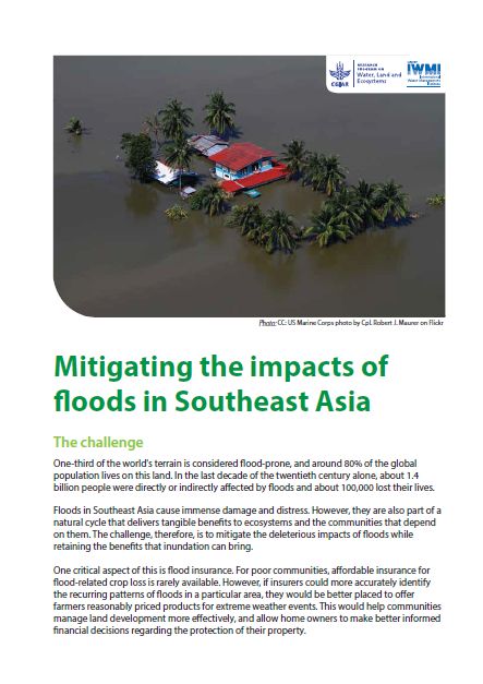
Mitigating the impacts of floods in Southeast Asia
This work is supported by the CGIAR Research Program on Water Land and Ecosystems (WLE) and the CGIAR Research Program on Climate Change, Agriculture and Food Security (CCAFS).

