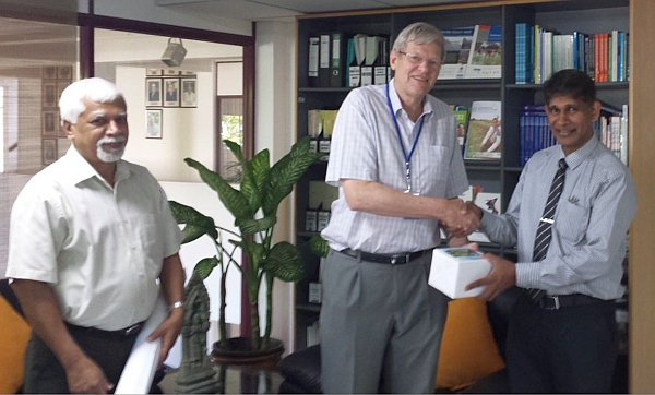
IWMI DG Jeremy Bird handed over the UAV (Unmanned Arial Vehicle) data to Mr. Palitha Udayakantha, Surveyor General of Sri Lanka, at IWMI headquarters, on November 25. This was as part of a request by the Survey Department of Sri Lanka for ultrahigh resolution aerial data capable of generating High-Resolution DEM (Digital Elevation Model) of the Badulla town.

The conventional survey techniques may have taken over an year to survey the Badulla town. However the IWMI GIS team covered the whole town (10 km2 approx.) with a spatial resolution of 4cm (on average) in 3 days, by carrying out 14 flights. All together 4,600 photos were taken. All data with flight parameters were handed over to the Survey Department for further processing. The data is to be used to aid disaster management and mitigation in the region.

