(Colombo, 17 November 2014) – Disaster management agencies in Sri Lanka can now assess the likelihood of future floods with up-to-the-minute data from space. This will enable them to plan relief and rehabilitation efforts in advance, and reduce the impact on lives and property. The workshop and capacity building program, Earth observation technologies for flood-risk mapping, modeling and management, was organized by the International Water Management Institute (IWMI) and its local partners, Ministry of Disaster Management and the Disaster Management Centre (DMC), and the United Nations Platform for Space-based Information for Disaster Management and Emergency Response (UN-SPIDER), Beijing Office, of the United Nations Office for Outer Space Affairs (UNOOSA). Participants from the government, non-government and emergency response sectors working in disaster management were shown how to quickly access and use flood-risk data from earth observation satellites.
Globally, South Asia is the region that is most vulnerable to sudden and severe flooding. This is usually caused by heavy monsoon showers, and has resulted in the loss of many thousands of lives, and damaged livelihoods, property, crops and infrastructure. Various studies confirm that the effects of climate change will increase the frequency, magnitude and extent of flooding in South Asia in the future.
Sri Lanka has experienced a rise in the frequency of heavy floods during the past decade between 2000 and 2013. About 25 massive floods affected the lives and livelihoods of over five million people, and damaged property and infrastructure estimated at over LKR 90 billion.
The use of space-based technology is an integral part of disaster management in many countries. However, despite advances in Sri Lanka’s capabilities in this field, local researchers have yet to use custom-designed tools and approaches that meet the island’s specific needs.
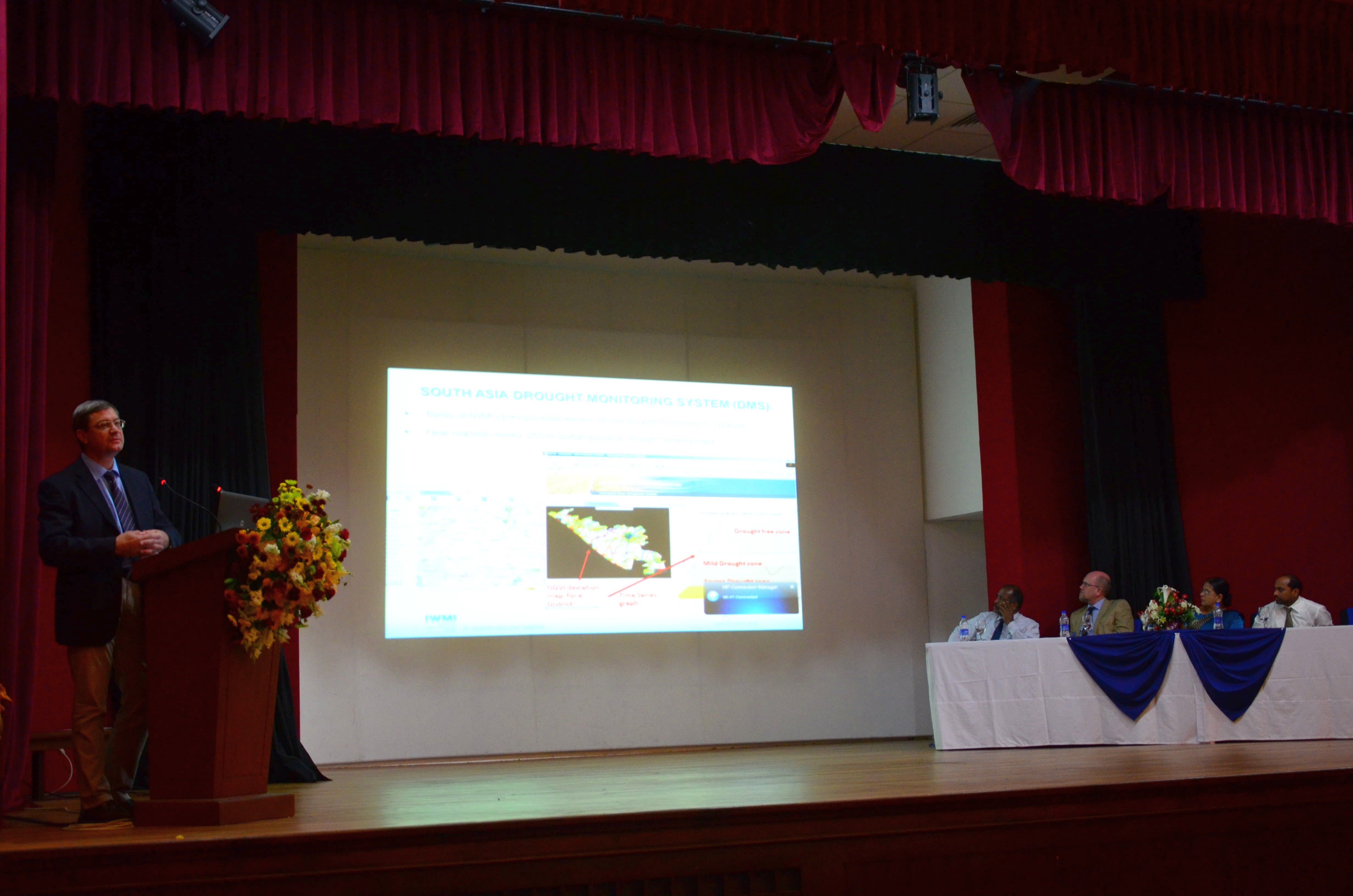
In his keynote address, Peter McCornick, Deputy Director General – Research, IWMI, stated, “The economic impact of disasters will increase as populations rise. Disaster management information will make economies more resilient and help them recover.” He also stated that the workshop was based on an ongoing IWMI research program supported by the Ministry of Agriculture, Forestry and Fisheries, Japan, which looks at the impact of floods on livelihoods in rural areas. It aims to evaluate the risk of flooding to agriculture, and develop better livelihood strategies and adaptation measures in Sri Lanka. Flood managers could also access the wealth of data freely available in IWMI’s Sri Lanka Water Information System.
Siththy Marina Mohamed, Secretary, Ministry of Disaster Management, confirmed the importance of timely and accurate information during times of a disaster, stating that “In order to reduce threats, enhanced knowledge and information-sharing is vital. Accurate and proper information is needed at the right time, and disaster recovery must also be at the right time. So, technologies are necessary tools that enable decision makers to make proper and timely decisions.”
Vladimir Smakhtin, Theme Leader – Water Availability, Risk and Resilience, IWMI, also addressed the gathering and stated, “Natural disasters, on average, kill between 20,000 and 30,000 people a year. This is much higher than the number of deaths that occur due to terrorism, which is between 15,000 and 20,000 annually.” He estimated that the annual damage caused by floods and drought may rise to over 400 billion, globally, by 2030.
In a presentation on Flood evaluation, livelihoods implication and adaptation strategies in Sri Lanka, Giriraj Amarnath, Researcher – Remote Sensing and Water Resources, IWMI, stated, “The findings of our research will enable decision makers, particularly the Ministry of Disaster Management, to analyze the problem in the past and have a remedy for the future, and to design adaptation technical interventions and policies in the face of future uncertainties.”
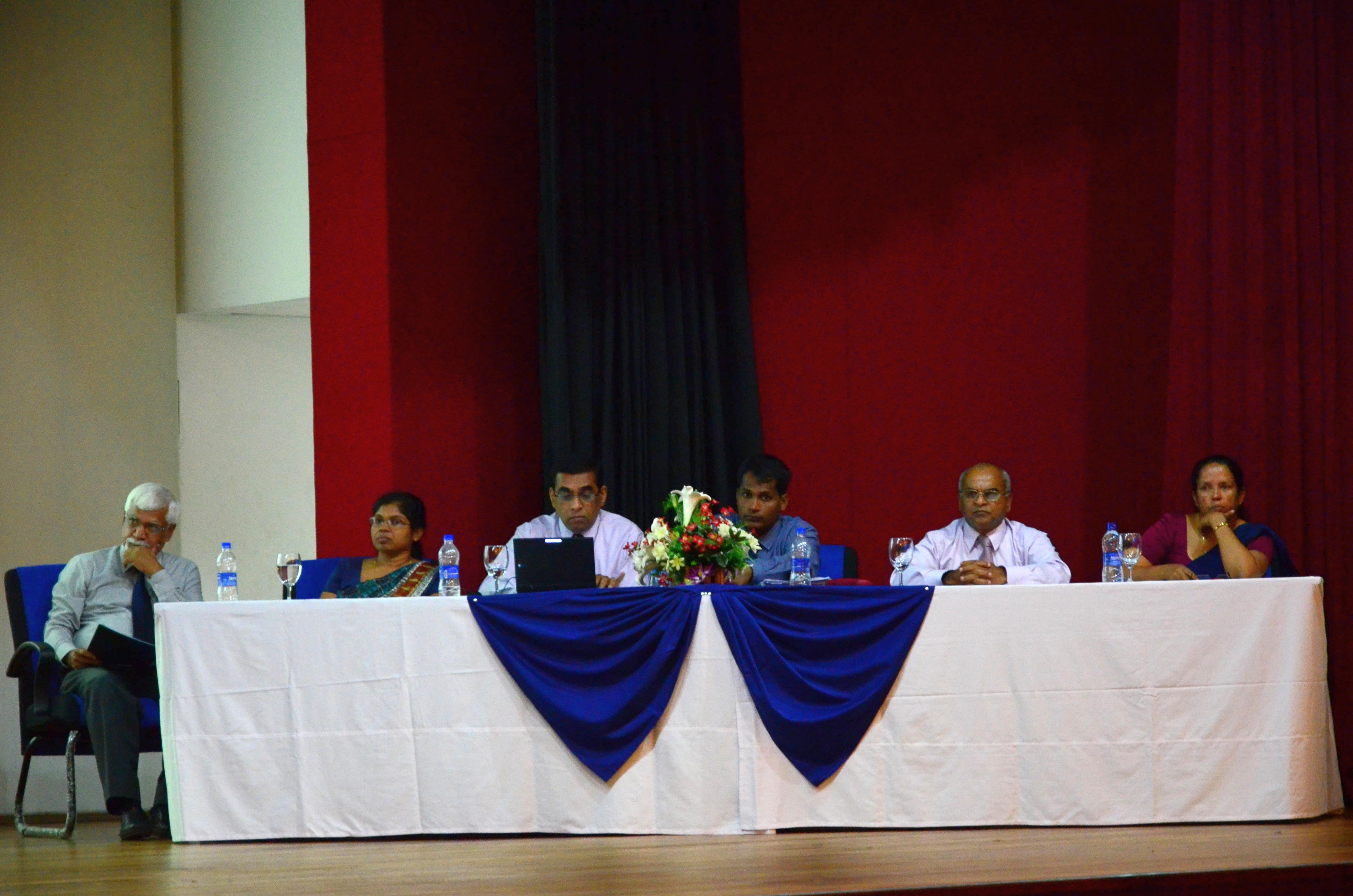
The inaugural addresses were followed by a session chaired by Herath Manthrithilake, Head, Sri Lanka Development Initiative, IWMI, during which national and international agencies shared their achievements and experiences in disaster management.
A four-day training program on flood-risk mapping, modeling and management at the Postgraduate Institute of Science, University of Peradeniya, Sri Lanka, followed the workshop. Staff from 15 institutions were given hands-on training to analyze and use satellite-based information to predict the likelihood of future floods. They were introduced to a range of remote sensing and geographic information system (GIS) tools. This knowledge will equip them to set up disaster response initiatives in their own organizations based on satellite data. They can then network with institutions within and outside the country to help mitigate damage due to floods in the future.