Home 2024
Archives
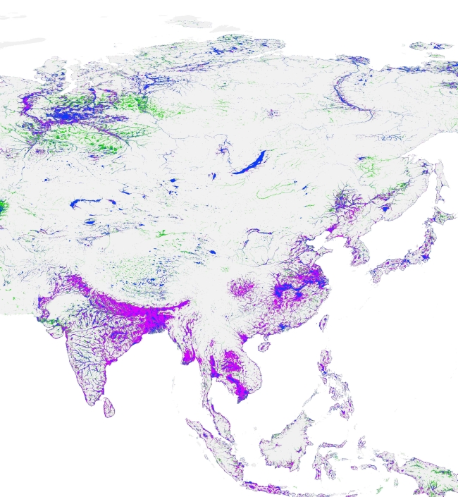
IWMI and partners map the state of water across Africa
Earth observation platforms and data will support decision-makers in the management of flood and drought risk.
Visionary integration
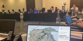
IWMI presents a digital twin concept for management of the Limpopo River basin.
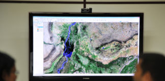
IWMI project enables fast access to petabytes of analysis-ready water data...
Actionable information from earth observation data will enable better water management for African governments, communities and companies.


