A novel approach for determining where and how to intervene
By Sanita Dhaubanjar, Research Officer; Claire Swingle, Princeton in Asia Fellow: and Luna Bharati, Principal Researcher, all with IWMI
Originally published in The Kathmandu Post.

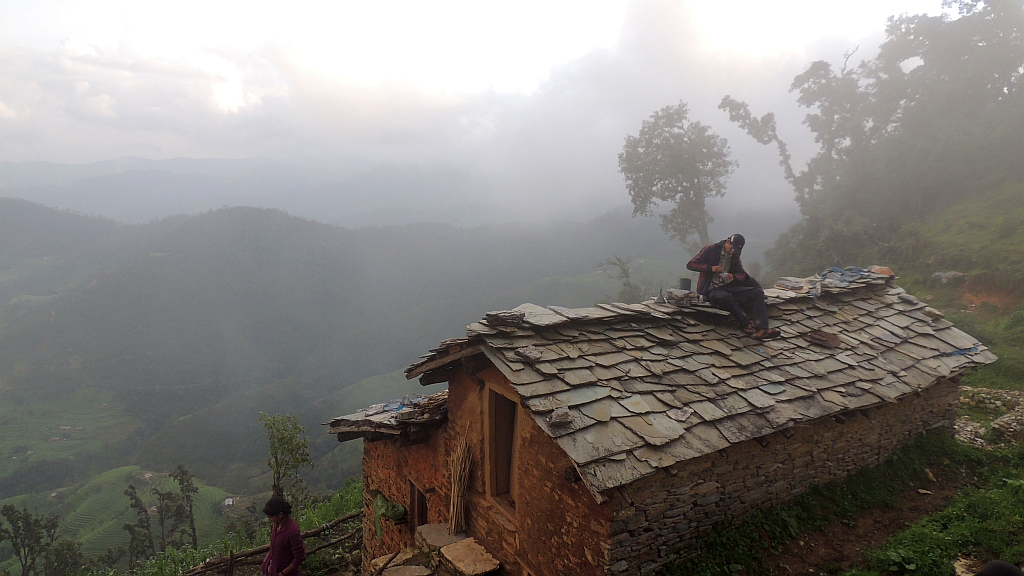
In mountainous areas of Nepal, springs are the primary source of water for remote communities, serving as a mainstay of rural livelihoods. Springs are especially critical for dry-season agriculture, because they can provide access to water stored in groundwater aquifers. Discharge from springs is declining, however, possibly as a result of population growth as well as changes in land use (including agricultural expansion and deforestation) and the climate. Recharging and sustaining groundwater aquifers is key for ensuring year-round water availability in connected springs and for reducing the reliance of upland communities on rainfall.
To help guide such efforts, researchers with the International Water Management Institute (IWMI) have tested the use of a combination of novel methods – environmental isotopes analysis plus hydro-meteorological and hydrogeological measurements – to identify the dominant recharge zones for springs.
The researchers used this approach in two mountainous catchments – Banlek and Shikarpur – of Nepal’s Far-Western Province. Published recently in Hydrogeology Journal, the results provide a firm basis for targeting physical recharge interventions, such as afforestation, infiltration trenches, recharge ponds, small storage tanks and bio-engineering, or community-led interventions, such as source water protection, prevention of overgrazing and conservation of infiltrating landscapes.
The Department of Forest and Soil Conservation[1] is implementing such measures through the project “Building Climate Resilience of Mountain Eco-Regions” (BCRWME) under the government of Nepal’s Strategic Program for Climate Resilience (SPCR). Working in six districts of the mid-hills of Far-Western Nepal, the project aims to make springs more reliable year-round, thus enhancing the climate resilience of these vulnerable communities.
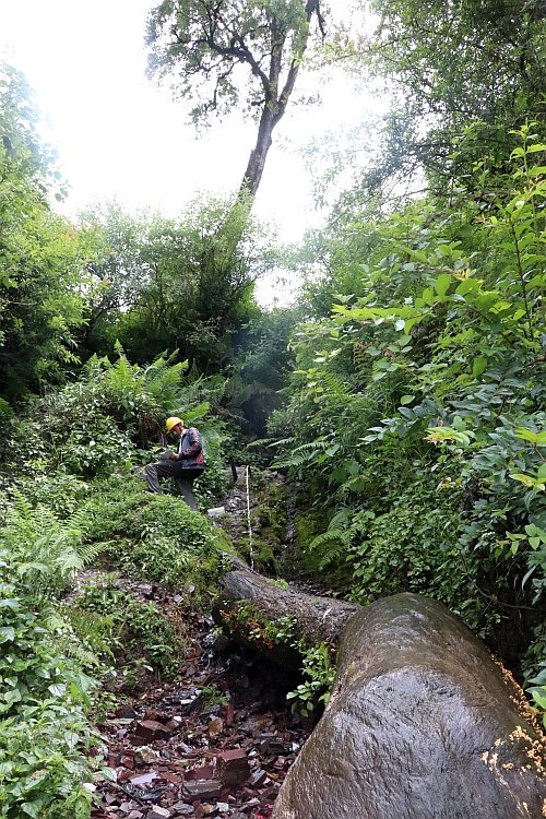
In support of the BCRWME project, IWMI researchers conducted hydrogeological assessments to identify spring types and determine their connectivity with surface water and shallow or deep groundwater aquifers. The researchers also set up manual and automated hydro-meteorological monitoring stations to gather data that will help understand the sensitivity of springs to changing weather patterns. In addition, they used isotope analysis to identify the relative contribution of surface and groundwater in spring systems as well as the dominant recharge elevation zones. This information is key for selecting effective interventions to improve springshed management.

According to the results of isotope analysis, the ideal elevation zones for spring recharge are 1,000-1,100 meters above sea level in Banlek and 2,600-2,700 meters in Shikarpur. The study further suggests that the majority of springs in Banlek, which respond rapidly to rainfall and whose recharge zones are located within the boundaries of the surface water catchment, can be effectively augmented using the proposed on-site recharge interventions. The recharge zone for Shikarpur, in contrast, extends beyond the surface water catchment, and the response to rainfall is variable. This catchment thus requires a wider landscape approach integrating the management of water and land beyond catchments to augment spring water. On-site investment is best directed at increasing water-use efficiency and water transfer, leading to better management of available water in Shikharpur.
New knowledge about groundwater systems and connected springs is critical for improving the management of these water resources and for enhancing the resilience of communities in the mountainous region over the long term. Groundbreaking research is helping us build a better understanding of springsheds together with an evidence base for selecting the most effective interventions. Using the results of isotope analysis and the hydro-meteorological data collected, IWMI researchers are developing models to further analyze springshed hydrology and simulate the impact of climate change on groundwater aquifers and springs in the study areas.
[1] Previously Department of Soil Conservation and Watershed Management (DSCWM).
Also refer the WLE project page.
The authors acknowledge the Climate Investment Funds (CIF), Nordic Development Fund (NDF) and the Asian Development Bank (ADB) for funding this work as part of the Strategic Technical Assistance to support the Building Climate Resilience of Watersheds in Mountain Eco-Regions (BCRWME) project led by the Department of Forests and Soil Conservation (DoFSC), Government of Nepal, under the subpackage-2 titled: Watershed Hydrology Impact Monitoring Research. The research work was conducted by the International Water Management Institute (IWMI) with support from the National Institute of Hydrology (NIH), Roorkee, India, for laboratory analysis and interpretation of the isotope compositions. The Institute of Forestry (IOF) was engaged intermittently throughout the project for collaboration, knowledge sharing and capacity building. This research was carried out as part of the CGIAR Research Program on Water, Land and Ecosystems (WLE) and supported by Funders contributing to the CGIAR Trust Fund.

