Scientists from the International Water Management Institute (IWMI) have contributed to what may be the most comprehensive global map of wetlands ever created.
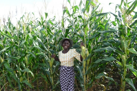
Scientists have developed a set of recommendations and methods for sustaining the benefits of SWC measures implemented in the Ethiopian highlands over time.
This toolkit presents twenty indicators that evaluate the resilience of different aspects of ecological, agricultural, cultural, and socio-economic systems, helping communities address threats to the land- and seascapes they depend on.
MESH is an ecosystem service assessment and mapping toolkit that calculates ecosystem service production functions and maps ecosystem service provision under different landscape management scenarios.
This tool offers a participatory approach to evaluating land management options from farmers' perspectives. It can help scientists understand farmers' choices, enabling them to better support successful and long-lasting changes to land use practices.
This map provides the locations of all planned, under-construction and operating dams in the Greater Mekong region. By representing dams spatially, the map gives a sense of the true scale of dam development.
WA+ is a framework that provides consistent and coherent information on water resources and the services water provides, such as irrigation for agriculture, in a river basin or a country.
Maps which show the interface between irrigated and rainfed areas in Asia can help researchers, policy makers and private sector investors make better decisions on water management for agriculture and the environment.
WaterWorld is a software tool that aids in developing and assessing water and land-related policies. The web-based tool examines the consequences of development actions through computer simulation, by highlighting their effectiveness and unintended consequences, both locally and downstream, before the options are tested on the ground.
Co$ting Nature is a software tool that aids in developing strategies to sustain and improve ecosystem management. It is being used by WLE in its Volta region work in Africa for ecosystem service trade-off analysis.
IWMI scientists have developed a map and inventory that shows the presently known transboundary aquifers in Africa. The map includes 80 aquifers and aquifer systems superimposed on 63 international river basins.