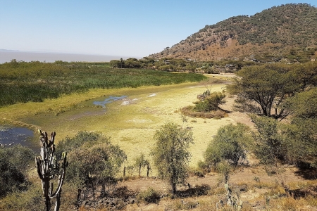
The highlands of Ethiopia face high levels of land degradation, often caused by deforestation, soil erosion and nutrient mining. The direct cost of soil loss and its essential nutrients due to unsustainable land management reaches $106 million annually. To mitigate these losses, an enormous effort is underway in Ethiopia to address the challenges of soil erosion and restore overall land productivity.
Since erosion shows spatial variability across the landscape, it is not economically feasible or technically possible to conserve all areas experiencing soil loss. Thus, it is necessary to identify and prioritize critical areas of erosion for intervention.
This modelling framework and supporting participatory approach offers spatially distributed erosion models that can be used to identify erosion hotspots. The models also allow for simulations of the potential impacts of different land management options, and can be used for planning of site and context specific interventions.
This guided planning and decision-making not only allows for better identification of critical areas of intervention, it is also useful in informing modeling frameworks that can be implemented at the local level. A user-friendly modelling graphical interface and framework allows for local conservation leaders to plan land use with communities and facilitate
The availability of an easy-to-use modelling framework can enhance the ability of local conservation leaders to use such tools in their land use planning and facilitate ex-ante assessment of best-bet sustainable land management and soil and water conservation options.


