In most semi-arid areas of the developing world, the number, size, and location of small reservoirs is unknown. To coordinate further planning, knowledge of the existing dam inventory is needed, especially for programs dedicated to reservoir rehabilitation and management.
This tool guide provides steps to obtain a regional reservoir inventory through remote sensing using Google Earth in conjunction with WaterWorld. Additionally, the detailed database of dams also allows for an analysis of the ecosystem-service relevant properties.
Reservoir inventories are best done from imagery at the end of the rainy season, when the reservoirs are filled to their maximum extent, and cloud coverage decreases.
*This tool is intended for use by technically schooled persons with an introductory knowledge of remote sensing. Access to remote sensing software, reasonably fast computers, and ample digital storage space are also prerequisites.
Related publications
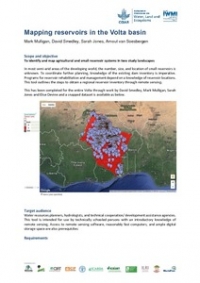
Mapping reservoirs in the Volta basin
Mulligan, M.; Smedley, D.; Jones, S.; van Soesbergen, A. 2017. Mapping reservoirs in the Volta basin. Colombo, Sri Lanka: CGIAR Research Program on Water, Land and Ecosystems (WLE). 2p.
Contacts

Roseline Remans
Roseline Remans is a Senior Scientist with Bioversity International and Adjunct Scientist with Ghent University. She coordinates the WLE research flagship, Enhancing Sustainability across Agricultural Systems.
Lead Partner
International Water Management Institute (IWMI)Related publications
Mapping reservoirs in the Volta basin
Mulligan, M.; Smedley, D.; Jones, S.; van Soesbergen, A. 2017. Mapping reservoirs in the Volta basin. Colombo, Sri Lanka: CGIAR Research Program on Water, Land and Ecosystems (WLE). 2p.Volta Basin Development Challenge: management of rainwater and small reservoir for multiple uses.Final Science Workshop Report
Olufunke, Cofie.2013.Volta Basin Development Challenge: management of rainwater and small reservoir for multiple uses. Final Science Workshop Report. Challenge Program on Water and Food. Ouagadougou, Burkina Faso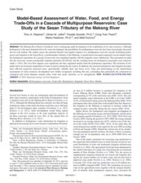
Model-based assessment of water, food, and energy trade-Offs in a cascade of multipurpose reservoirs: case study of the Sesan tributary of the Mekong river
Räsänen, Timo A.; Joffre, Olivier M.; Someth, P; Cong Tran Thanh; Keskinen, Marko; Kummu, Matti. 2014. Model-based assessment of water, food, and energy trade-Offs in a cascade of multipurpose reservoirs: case study of the Sesan tributary of the Mekong river. Journal of Water Resources Planning and Management
Blog Post 
Blog Post 
Blog Post 

Blog Post 


