A geographic information system (GIS) tool that aids water management decisions on irrigation and drinking water provision in Honduras is expanding nationally and going global as an open-source platform.
Background
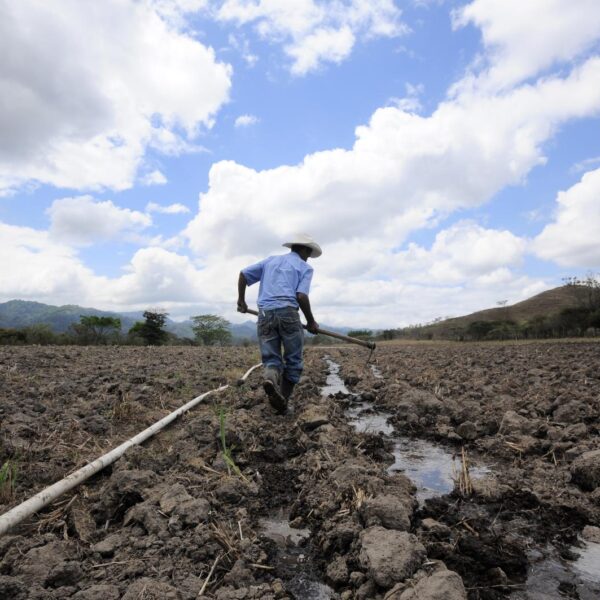
For farmers in drought-prone regions such as western Honduras, the limitations of rainfed subsistence agriculture are made even more challenging by increasing climate variability. It is critical for farmers and governments to make smart investments to manage water resources. But information is often lacking on water supply, demand and quality, as well as soil health and the topography that defines how water can be transported. This information, often limited to qualitative data, can take months and even years to collect and analyze.
Innovation
A major governmental data platform, supported by WLE and the International Center for Tropical Agriculture (CIAT, now part of the Alliance of Bioversity International and CIAT), was developed to provide communities across six departments in western Honduras with data on hydrology, climate, vegetative cover and soil properties, and combinations of these characteristics under varying climate scenarios. The Agua de Honduras platform, developed at the request of and with the conceptual and financial support of the U.S. Agency for International Development (USAID/Honduras), aids water management decisions at the level of micro-watersheds (6,845), sub-watersheds (133) and entire watersheds (25). These hydrographic delimitations were generated and officially approved for the country in 2018 through the platform’s implementation.
A key element of the platform is AGRI (AGua para RIego). This is a GIS-based decision support tool that identifies surface water sources and then maps the best (most efficient and water-conserving) conduction routes between the water sources and either small-scale irrigation systems or rural aqueducts. Originally designed as commercial software in partnership with USAID/Honduras, the award-winning tool is now freely available as an online open-source platform, with technical support from the Food and Agriculture Organization (FAO).
Impact
By September 2021 the Agua de Honduras platform had grown to provide data on 2,237 micro-watersheds, 53 sub-watersheds and 11 watersheds in Honduras, covering an area of 3.5 million hectares. The platform has been adopted by the Ministry of Environment, and AGRI has been used over 200 times in western Honduras, including by the Ministry of Agriculture and other institutions. With its ability to identify rainwater harvesting sites, AGRI has the potential to benefit millions of Hondurans. AGRI-assisted technicians have had better results in locating viable, gravity-driven routes for irrigation. Indeed, AGRI has been used to correct previously identified routes, and has revealed shorter routes or even led to the identification of alternative water sources. The platform’s rapid data analysis reduces from months to just a few days the time needed to identify viable water sources. Significantly, successful results and acceptance among farmers and local government technicians have led to the online open-source version of AGRI being taken up in other parts of Central America and even in East Africa. Training sessions have also been provided, involving 44 people from 18 institutions in Belize, Grenada, Guatemala, Honduras and Jamaica. A desktop version is now being disseminated across the Caribbean with the support of the Caribbean Development Bank.
Challenges
A major challenge in the implementation of water management tools such as AGRI is the quality and availability of input data. While AGRI has generated valuable, meaningful results through the use of global data sources, much of this data still needs to be validated in the field, requiring additional resources – a challenge under the mobility restrictions imposed by COVID-19. AGRI users should also comply with local administrative, legal, social and environmental regulations, as without governmental oversight the tool could be misused to exploit water resources at the expense of other stakeholders or the environment.
Next steps
Although the new version of AGRI was developed using freely accessible datasets, in some parts of the world it is harder to obtain accurate spatial information. This limits the adaptation of AGRI to certain regions. However, the flexibility offered by the open-source software means that additional, appropriate components can be added that provide more capabilities for water-related analysis. The interest AGRI has attracted from other countries and donor partners demonstrates that the tool has global potential to help governments and farmers work together to make the best use of limited resources in a sustainable way.