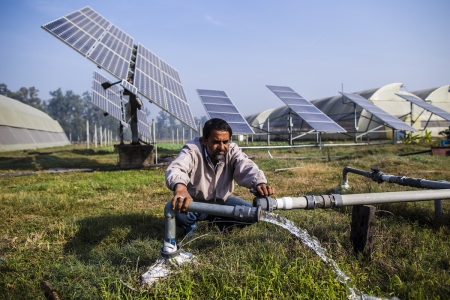
Nepal's new National Irrigation Master Plan utilizes hydrological models and an environmental flow calculator-- two technologies developed by the CGIAR Research Program on Water, Land and Ecosystems (WLE) and the International Water Management Institute (IWMI). As the country's irrigation strategies develop and expand, WLE/IWMI have become the go-to points for hydrological analysis and environmental flow (E-flow) assessments.
Water supply in the country is generous but highly seasonable; over 80% of annual precipitation comes between June and September, during the monsoon season. And currently less than 10% of available water is used for economic and social purposes. Though Nepal prepared a master plan in the early 1990s, irrigation was designed on a project-by-project basis, leading to competition and conflict. Development also didn't often consider water requirements of other sectors, nor the environment.
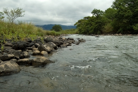
In 2009, WLE/IWMI began promoting a river basin approach. This included introducing E-flows, which describe the quantity, quality and timing of water flows necessary for sustaining freshwater ecosystems. This calculation reveals how much freshwater is available for other purposes. Withdrawing too much water when supplies are limited leads to "water stress." The E-flow calculator, now accessible online, aids decision-makers in balancing ecological and socio-cultural needs.
Nepal's Department of Water Resources and Irrigation used estimation of water balances from WLE/IWMI's hydrological models, including the Koshi Basin Soil and Water Assessment Tool (SWAT) in Eastern Nepal, and SWAT models for the Karnali-Mohana and Mahakli basins in the Western Himalayas. Estimations of WLE/IWMI's E-flows were also included in the Plan.
Incorporating whole river basin models and environmental requirements in irrigation planning will go a long way in transforming future investments. These approaches will enable more sustainable and productive plans, and ensure water is better shared across sectors and areas.
Training programs, supported by Digo Jal Bikas Program with the United States Agency for International Development (USAID), the World Bank and others, helped officials and donors apply river basin approaches and understand the need to quantify and incorporate environmental flows in upcoming river basin planning.
These innovations are also making global impact. As part of their self-assessment of progress towards Sustainable Development Goals (SDGs), all countries report on E-flows. But, until recently, many countries lacked clear criteria on how to measure this data. Last year, the Food and Agriculture Organization of the United Nations (FAO) launched an E-flow guideline largely modeled after the WLE/IWMI calculator.
