Sri Lanka faces another episode of flooding and landslides, as the southwest monsoons continue to trigger extreme weather in parts of the country. IWMI together with the Disaster Management Centre of Sri Lanka (DMC-SL) have activated their disaster charter with Sentinel Asia (as of May 26). Within this framework, the Institute has been providing satellite-based high-resolution maps of the affected regions to the DMC and military to assist with rescue missions and further assessments. IWMI’s participation forms part of the CGIAR Research Program on Water, Land and Ecosystems (WLE), supported by the CGIAR Fund.
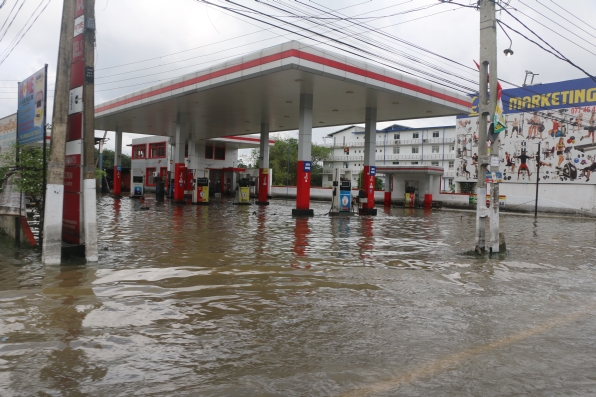
The DMC has appointed IWMI as the key institute to facilitate coordination with space agencies for satellite data acquisition and to share the value-added products with stakeholders in Sri Lanka. The first satellite image obtained on May 28, via the German Aerospace Centre (DLR), showed vast areas of standing floodwaters along the Southern and Western Provinces. Initial estimates from satellite images indicate that Matara (with 49.3 square kilometers of flooded area) and Kalutara (with 31.6 square kilometers) are the worst affected districts, followed by Galle (20.2), Rathnapura (14.9), Colombo (5.6) and Gampaha (4.5). Detailed statistics on the affected regions have been shared with local authorities.
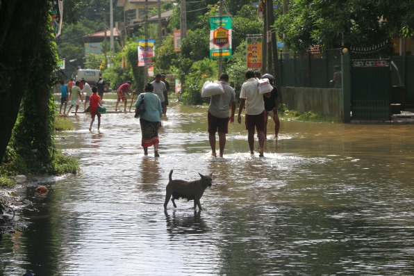
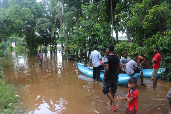
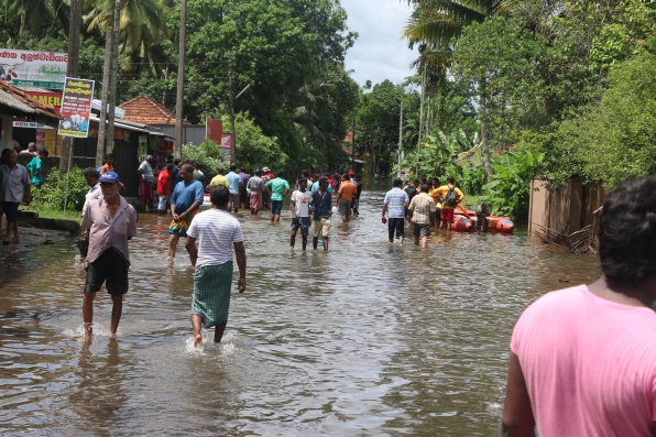
So far, thousands of people have been reported missing and hundreds killed. Over 100,000 have been recorded as displaced and 500,000 directly affected across many districts, according to initial estimates from the DMC. More rainfall is expected in the coming days.
For further information please contact:
Giriraj Amaranath
Latest Maps:
[hungryfeed url=”http://feeds.feedburner.com/iwmi-maps-floods-srilanka” feed_fields=”” item_fields=”title,description,date” link_target=”_blank” max_items=”3″]