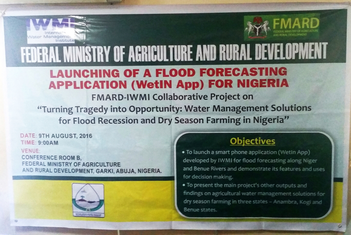
 On August 9, 2016, a preliminary version of a flood forecasting app, WetIn App, developed for the Niger and Benue Rivers, was launched at the headquarters of the Federal Ministry of Agriculture and Rural Development, in Abuja, Nigeria. Severe flooding on the Niger and Benue Rivers in 2012 led to a partnership between the Government of Nigeria, represented by the Federal Ministry of Agriculture and Rural Development (FMARD), and IWMI to develop, amongst other things, an app to provide information to better manage future inundations.
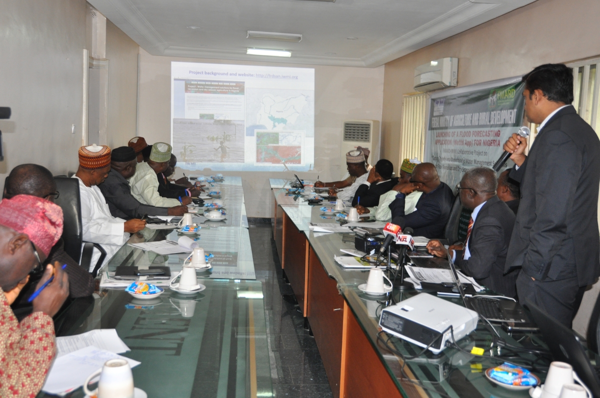
The development of the app was led by Giriraj Amarnath, Subtheme Leader, Water-related Disaster Risk Management, using satellite altimetry data from NASA, and French and Indian satellite missions. Presently the app provides information on the historical flooding pattern along the two rivers. The goal is to provide a flood forecast warning with a 4–5-day lead time. This will mean using data on river levels at five upstream virtual stations to provide support to agricultural and disaster management agencies to help the people at risk downstream.
Mr. Azeez M. Olumuyiwa, the Director of Agribusiness, Processing and Marketing, who represented the Permanent Secretary of FMARD at the launch, noted that the app will “help to assist the Ministry and other agencies in Nigeria to plan for flood risk management and better utilization of flood water for flood recession and dry season agriculture.”
The Nigerian Hydrological Services Agency (NIHSA), a key collaborator in the development of the app, was represented at the launch by its Director General, Mr. Moses Beckley, who said “the development of the app is a step in the right direction” and pledges to support IWMI in further development of the app by providing hydrological data from its stations along the two rivers.
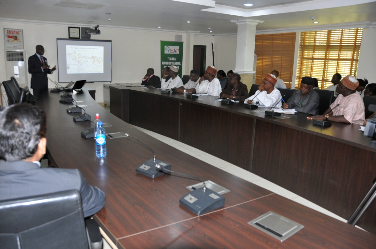
IWMI was represented at the launch by Karthikeyan Matheswaran, (Postdoctoral Fellow: Surface Water Modeling and Hydraulics),Water-related Disaster Risk Management subtheme and Tim Williams, Regional Director for Africa and overall Project Leader.
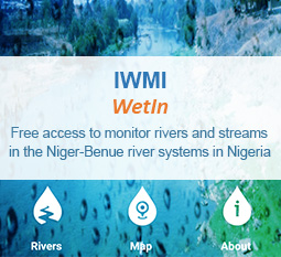
The app can be downloaded from the Google Play Store or the IWMI website through: https://play.google.com/store/apps/details?id=com.mb9inc.iwmi&hl=en Or http://www.iwmi.cgiar.org/resources/apps/
Media coverage of the event can be accessed through the links below: