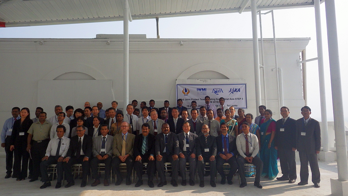
Experts from across Asia will discuss how the next generation of satellite based technologies can help improve disaster preparedness and response at a three day meeting which started this Tuesday, January 19, in Mount Lavinia, Colombo.
The delegates are looking ahead to the next phase of Sentinel Asia, a voluntary initiative supporting disaster management in the Asia-Pacific region by using space-based technology, such as satellite earth observation data. The initiative is led by the Asia-Pacific Regional Space Agency Forum (APRSAF).
Speaking at the opening session, Mr. S.S. Miyanawala, Secretary, Sri Lankan Ministry of Disaster Management, emphasized the increasing importance of satellite remote sensing for disaster management and relief.
In his address to the opening session, Peter McCornick of IWMI (which co-organized the event with the Disaster Management Center), highlighted the need for such meetings to share knowledge on disaster risk reduction in communities across the region.
“This partnership has enabled us to deliver accurate and timely maps which we hope can provide valuable information for flood relief,” said Giriraj Amaranth, who leads IWMI’s flood mapping research. “We believe that satellite data has huge potential in this regard and hope that we can play a useful role in rapid emergency response mapping.”
Other key partners in the Mount Lavinia event include the Japan Aerospace Exploration Agency (JAXA) and the Sentinel Asia Secretariat.